 |
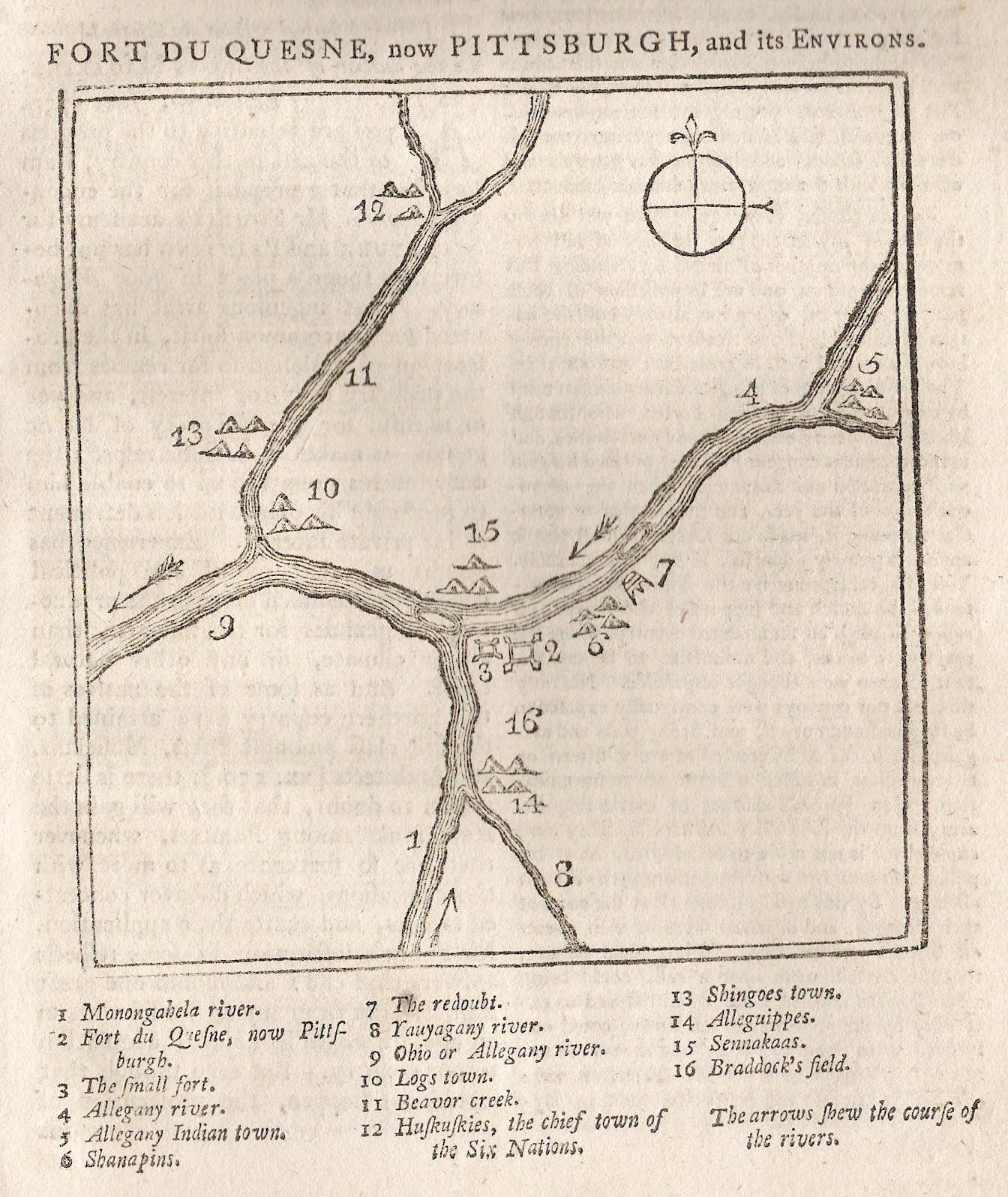
| Source - 1759 Map Of Pittsburgh Area (Probably Not Washington's Map) |
From The Plains of Abraham by Brian Connell:
George, precise and methodical, had his surveyor's notebook with him, making a remarkably accurate map of their progress, pin-pointing likely land for clearance and development and applying his as yet untrained military mind to the possibilities of erecting forts and strong points. With true insight, he made a special note of the gently rising point of land where the Monongahela and the Allegheny join, now the site of the city of Pittsburgh.


No comments:
Post a Comment